Smart City: mobility data, space & architecture

Public space in transition

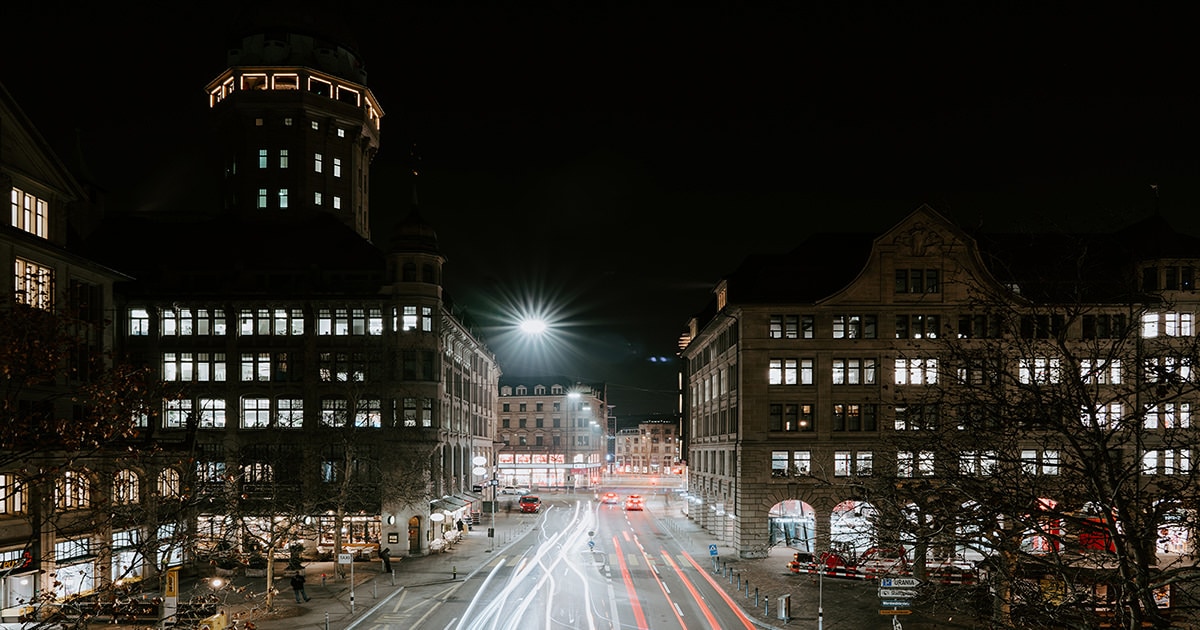
Many of the issues surrounding the optimal use of space are closely linked to social and socio-political questions. How and why increasingly scarce public space is used is a reflection of broader changes such as increasing technologisation, globalisation and more flexible ways of working and living. Political guidelines such as inner densification and denser building are also key in Switzerland: existing building zones must be used more densely in order to minimise land consumption and the associated urban sprawl. Furthermore, the design of public space is no longer exclusively in the hands of planners, authorities or politicians, but is increasingly influenced by participatory projects from the population. Awareness of the immediate surroundings, their function and development is increasing and users are demanding co-determination. But what criteria should be used to design public space when so many factors are involved? Who should determine and analyse the factors? And who subsequently evaluates the success of projects?

"Smart" data provides insights

The design of public spaces and infrastructure is still mostly based on trial and error. In many cases, great projects are created, but often also oversized streetscapes, poorly functioning town centres or unused squares. Mistakes are usually not analysed. Planning is not yet evidence-based. To prevent negative spatial developments and make them more efficient, Smartuse uses anonymised data sets from various sources, including the "Mobility Insights" platform from Swisscom. Markus Schaefer, co-founder of Smartuse, explains the principle behind this: "Like a doctor using an imaging procedure to see where he needs to operate, we gain important insights thanks to data and see where optimisations are possible to make better use of the space and design it more sensibly."
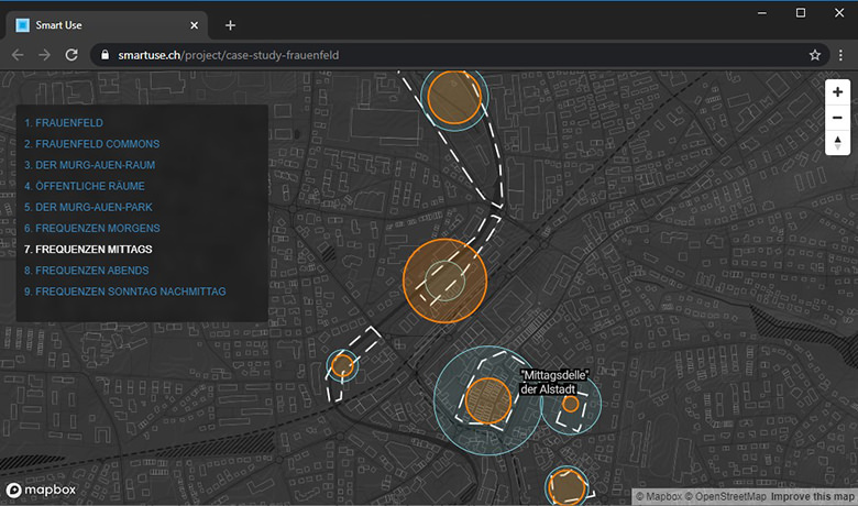
Time-dependent utilisation using the example of public space in Frauenfeld

From pilot project to "community scan"

How do people move between places of residence, work and leisure in the Zurich area? How often and intensively are certain streets used? Why are certain places not used at all or only little? Smartuse emerged from a pilot project of the Zurich Metropolitan Conference, which focussed on analysing such fundamental questions. Smartuse has further developed the resulting findings in the "community scan". "The community scan provides stakeholders with a user-friendly tool for spatial development, new insights and concrete tips that they can take into account when planning and implementing their own measures," explains Markus Schaefer. The "Gemeindescan" is constantly being developed further, and additional tools and products from cividi are in the pipeline. cividi is made possible by Engagement Migros, the Migros Group's development fund.

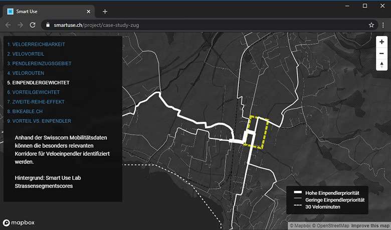
Potential for cycle paths in Zug North: Case Study Zug

Further information

Discover the potential behind data: Mobility Insights

Martina Longo

Martina Longo

Content Creator

More getIT-articles

Ready  for  Swisscom

Find the job or career to suit you. A career where you can make a difference and continue your personal development.

What you do is who we are.

Go to careers

Go to current cyber security vacancies